Automated system of precise volume measurements
VolumeMonit is based on autonomous stockpile measurement using a drone. Our system automatically calculates stockpile volumes and generates a report in the cloud.
High degree of automation distinguishes our system from other methods. It allows you to conduct frequent measurements and receive the results almost at a glance.
Once ordering the VolumeMonit service, you get access to a customized database with reports from all your inventories. You can also keep track of your calculations stage. You are informed by e-mail of the process status and the generation of the final report.

See how Volumemonit works
watch the videoVolumeMonit workflow

An automated, scheduled flight of a UAV
in the field, performed by an authorized, trained employee of the site, supervised by a person from the command center

Automatic transfer of images
after the survey to the server cloudspace assigned to the site
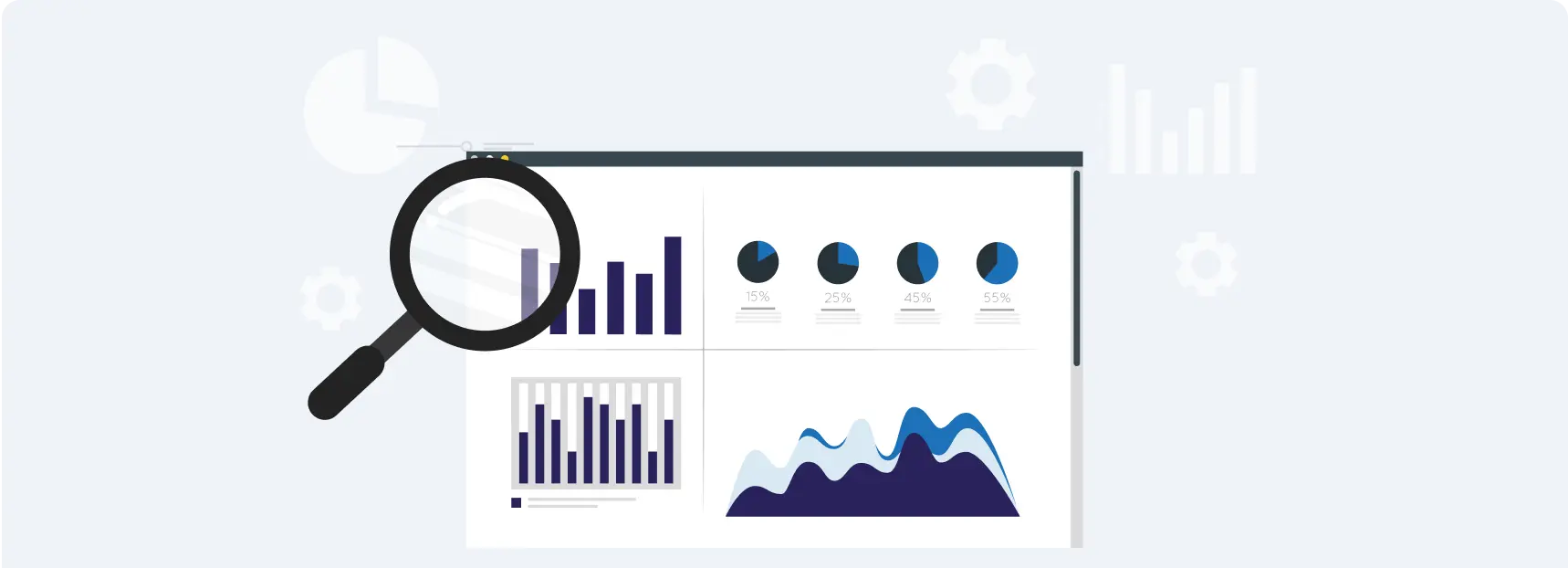
Automatic data processing
- Reception of images and downloading them to the computing cluster
- Automatic image processing with machine-learning based algorithms:
- Automatic georeferencing process
- Automatic point cloud cleaning
- Automatic identification of stockpiles contours
- Generating a 3D model
- Automatic volume calculation along with preparation of an unverified report >> information in the customer account
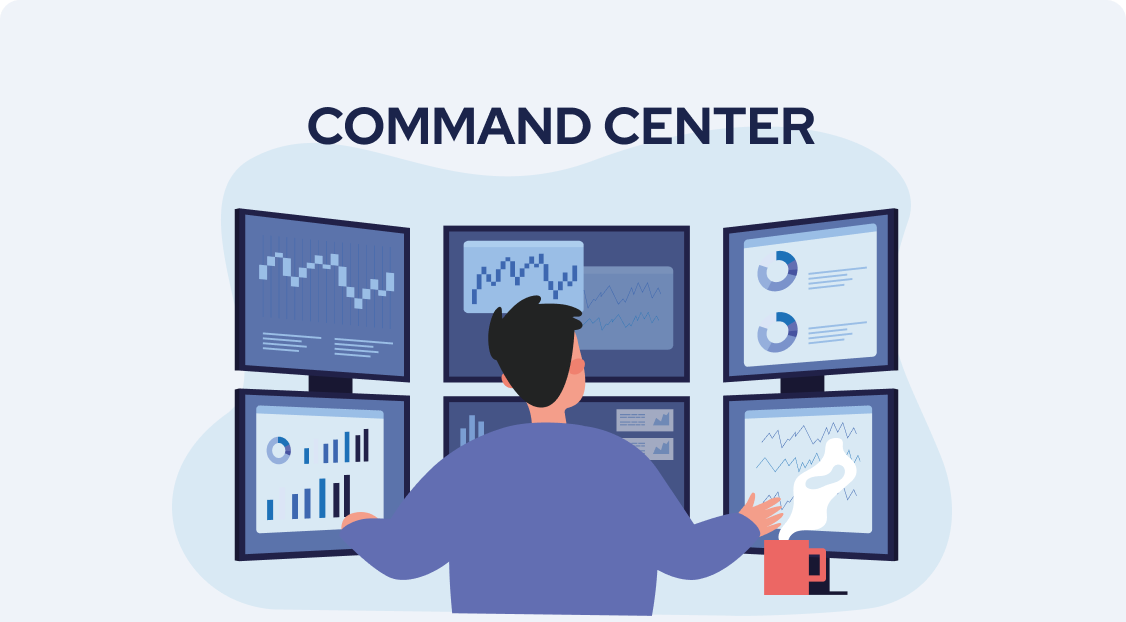
Verification, editing and approval of calculations
- Verification of the calculated volumes using the developed software
- Manual adjustments, if any:
- Identification of ground control points
- Point clouds
- Contours of material stockpiles
- Approval of the calculation report
Why do we claim that VolumeMonit is the best solution on the market?
Right away, many at once
Automation of the process allows measurements to be taken at multiple sites simultaneously. You are also not limited by the contractor’s travel time to the site or by appointments. All you need is an employee with the license to operate a drone.
Ultimate speed
On the one hand, VolumeMonit provides the speed of measurement (every 30 minutes or so) and, on the other, short waiting time for the result (from 4 to 48 h, depending on the arrangement). With this combination, you always get up-to-date data and save double the amount of time.
Ultra-high accuracy
By building proprietary computing algorithms, we were able to achieve accuracy of less than 1% error. This pictures best the stock quantities, comparing to other methods
Order and regularity
With the service you get access to a web application with a structured results database. It allows you not only to track the progress of your current reporting, but also compare results from different measurements or periods in which you took them.
Full stock quantity control
With such an accurate and frequent measurements, you will detect possible gaps in the aggregate production and sales system. Decalibrated production scales, misaligned bulk density ratios or other irregularities will stop generating losses for your company.
Full transparency
VolumeMonit provides full transparency of your data, which you can view at any time by logging into the application. In addition, the system prevents tampering with inventory data, since it can be viewed by people of different levels: from the shift manager to the CEO.
Safety and comfort
The role of the surveyor is reduced to supervising the measurement, which is performed fully autonomously. This improves the employee experience, and on top of that reduces the risk of accidents to an absolute minimum.
Easy verification
Our measurement method facilitates many company processes, including accounting and logistics. All due to the ability of quick verification of the calculations and reports of stockpile quantities.
Our equipment – DJI drones
VolumeMonit uses a range of DJI Mavic 3 Enterprise RTK drones. These are top-of-the-line drones that enable measuring multi-hectare areas in record time. They can be purchased from most Polish distributors of photographic and surveying equipment – such as Navigate.
Operation of the drone is very simple and convenient. All you have to do is launch it at a safe launch site, and it will autonomously execute the flight along the programmed route. After completing the task, the drone will land in the same place from which it took off (to the nearest few centimeters).
According to legal requirements in Poland, an employee operating a drone must have a VLOS license. The total cost ofprofessional training and exam is around 200 €. Approximately two weeks of time are required. Condition may vary depending on the country however the process is simple and not very costly.
Get equipped with a reliable partner.
Watch the drone

Our software – a web application
We know that it is important for VolumeMonit operators to fully understand every step of the calculation. That is why we have combined our experience in surveying with software expertise and created algorithms that optimize every step of the measurement process. This has translated into accuracy and repeatability of the calculations performed, which cannot be achieved with traditional measurement methods.
The VolumeMonit web application is like two sides of the same coin. One side is handled by operators – that is, our specialists who control and adjust the algorithm’s calculations on an ongoing basis. Access to the other side is available to you and designated employees of your site. This is the space where the results of measurements are presented. You can view and download them at any time.
As part of using the application, we provide you with continuous support from our professionals. If only you have problems or questions, you are never left alone.
To use VolumeMonit, you must have:
a DJI Mavic 3 Enterprise RTK drone
an employee with a VLOS license (drones with up to 4 kg flying in the line of sight)
a mobile device with Internet access
high-speed Internet connection throughout the site
How do we price VolumeMonit?
We always prepare a quote individually, for a simple reason. It is influenced by many factors, including:
- size and characteristics of the site,
- type and texture of surveyed materials,
- number, size and arrangement of piles,
- number of monitored sites/locations,
- estimated frequency of measurements.
This all makes up the final offer, which we tailor to the needs of each customer. As our experience shows, these can vary greatly, so a typical price list simply would not work.
Is it expensive? We assure you that it is not. The service is intended to bring you a tangible financial benefit, so the price will become negligible to you – if not at the very beginning, then certainly over time.
